The design of the route should be made through direct observation, geographic information (some cities have databases with this information that can serve as a baseline), photographic survey and previous data on urban planning and transportation.
You should take the following factors into account when designing the route:
Factor No1: Historical development of the city
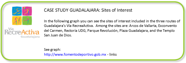
Cultural and recreational attractions must be identified: a) parks, plazas, or entertainment centers, b) museums, c) monuments, or d) architectural landmarks. This places are a magnet for public participation upon which depends the program´s acceptance and success.
Factor No2: Pavement quality and the inclination of the terrain
The quality of the pavement safeguards the security of the participants. The roads should have a flat surface preferably of asphalt (although you can also consider concrete or paving stones) with proper drainage for rainwater and resistance to damage from tree roots. It's also important to ensure that all gutters and storm drains have protective grates. The inclination of the terrain should be measured in 20m intervals and should not exceed a 5% grade in order to prevent accidents.
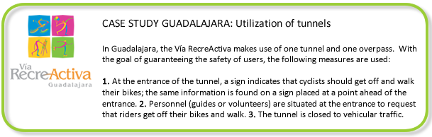
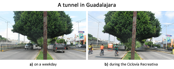
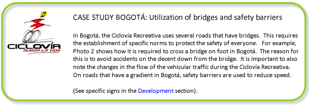
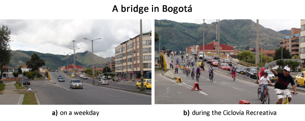
If necessary, repairs should be made to roads and this expense should be included in the initial budget. In the case of bridges or tunnels, adequate signals and signs should be included to ensure the safety of users.
Factor No3: Land use
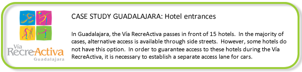
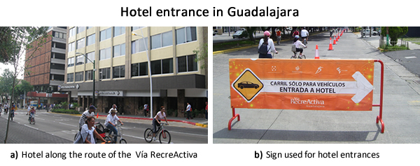
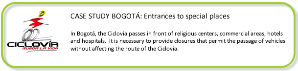
It is important to think about the regular use of the preexisting roads (for example, temporary or permanent markets). The route of the Ciclovía Recreativa should never impact the access of hospitals, military bases, religious centers, residences, hotels or social clubs.
Factor No4: Photographic survey
The photographic survey should include visual material that illustrates the route and its physical characteristics, to be used as evidence during the presentation of preliminary studies for the approval by the local authorities.
Factor No5: Risk studies
It is recommended that you create a map of risks or potential hazards along your route that considers the location of vulnerable areas such as: places that have a high risk of flooding, fire or earthquakes; places that have a high rate of crime or accidents; areas with high population density; other specific risks or hazards know from past events.
The purpose of this map is to ensure that operation personnel have the tools necessary to act in the unlikely event of one of these emergencies.
It is important to produce a public safety manual in order to ensure preparedness should an incident occur during the program.
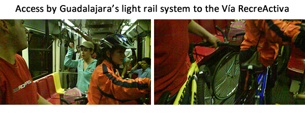
The public should be able to easily access the Ciclovía Recreativa via:
Bicycle (traveling no more than 2 km from their point of origin to the Ciclovía Recreativa).
Personal vehicle (parking nearby the route).
Public transit or by walking.
Factor No7: Socioeconomic strata and population density
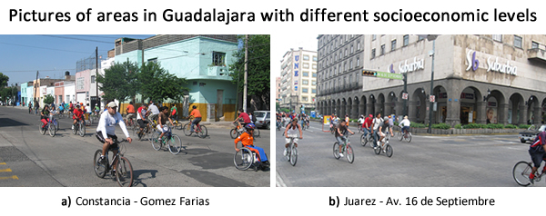
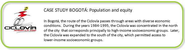
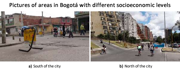
The Ciclovía Recreativa should contribute to the development of equality. The route should include different socioeconomic zones and try to reach the areas with the highest population density. Neither the linearity nor the connectivity of the route should be affected in the pursuit of these goals.
Factor No8: Connectivity
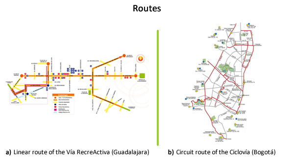
Users should be able to make linear or circuitous trips along the length of the Ciclovía Recreativa without interruptions. The perception of security given by uninterrupted trips is a key factor of public acceptance. However, the length of the route depends on, among other things, the number of residents (min. 4 km, with the ideal distance being at least 10km).